+
−
cartodbpositron
cartodb dark
open street map
stamen terrain
stamen watercolor
stamen toner
esri world imagery
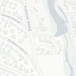
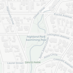
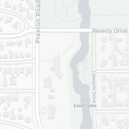
FEMA 500yr Estimate
FEMA 100yr Estimate
2000_Joshua Best Estimate Inundation
Modeling Limit
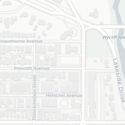
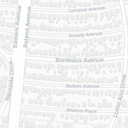
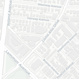
Junction: Exall
Junction: Wycliff
200 m
500 ft
Leaflet
| ©
OpenStreetMap
contributors ©
CartoDB
, CartoDB
attributions
Storm Transposition Legend
Storm Shift Inundation
FEMA Preliminary 100yr Inundation
FEMA Preliminary 500yr Inundation
Modeling Limits