+
−
cartodbpositron
cartodb dark
open street map
stamen terrain
stamen watercolor
stamen toner
esri world imagery
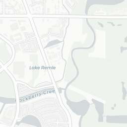
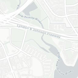
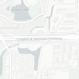
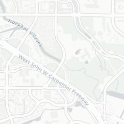
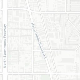
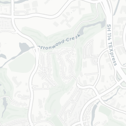
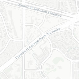
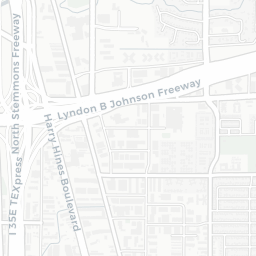
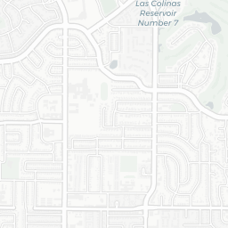
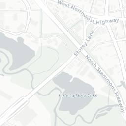
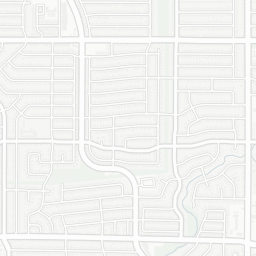
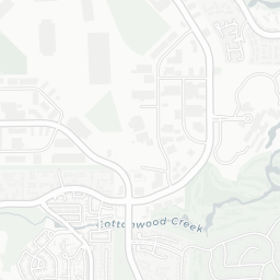
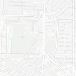
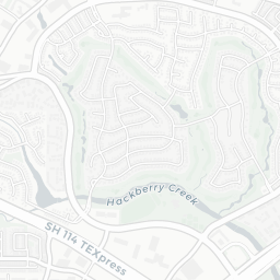
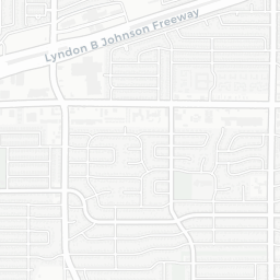
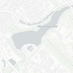
Trinity Basin
FEMA 500yr Estimate
FEMA 100yr Estimate
2015_TS_Patricia_ElmFkJ070 Wet Estimate Inundation
2015_TS_Patricia_ElmFkJ070 Best Estimate Inundation
2015_TS_Patricia_ElmFkJ070 Dry Estimate Inundation
Modeling Limit
Junction: Elm_Fork_J070
500 m
2000 ft
Leaflet
| ©
OpenStreetMap
contributors ©
CartoDB
, CartoDB
attributions
Storm Transposition Legend
Storm Shift Inundation
FEMA Preliminary 100yr Inundation
FEMA Preliminary 500yr Inundation
Modeling Limits